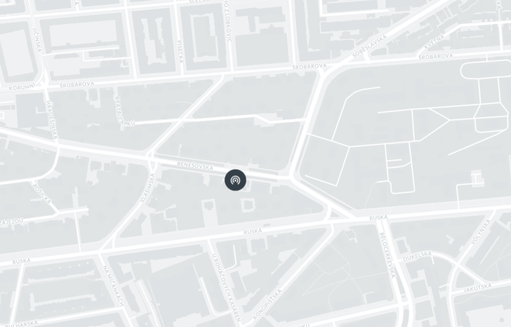
GNSS Position of the Scout
All Scouts are delivered with automatic GNSS location setup enabled by default. However, you can change this setup and enter location coordinates manually if desired.
About GNSS on the Scout

The Dronetag Scout is equipped with a GNSS receiver that enables:
- Visibility on the map within our application
- Time synchronization using the GNSS signal
- Transmission of position data to the server via the network
Setting GNSS Location Manually

To set the GNSS position manually, follow these steps:
-
Connect to the Scout’s Management Interface
Follow the instructions in Connect to the Management Interface to access the Scout’s web UI. -
Navigate to the GNSS Tab
Go to the GNSS section and toggle the GNSS switch ON to enable sending the positioning information over network. -
Enter Coordinates
Fill in the desired latitude and longitude coordinates into the empty field at the bottom of the page. If empty the receiver is using the internal GNSS Unit to determine its current position. -
Save Your Changes
Click the Update GNSS button to save the manual location.
Privacy Control
If you prefer to keep your location private, you can disable the transmission of GNSS position data to cloud platforms by toggling off the corresponding switch in the management UI.
The Scout will continue to use GNSS internally for purposes such as time synchronization, but it will no longer send location data over the network.